
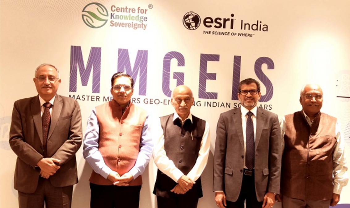
The “Master Mentors Geo-Enabling Indian Scholars” (MMGEIS) initiative was introduced in the nation by the Center for Knowledge Sovereignty (CKS) in collaboration with Esri India Technologies Pvt Ltd, a market leader in comprehensive Geographic Information System (GIS) solutions. The program’s goal is to establish India as a global center for geospatial technology innovation and talent development, with students ranging from eighth grade to undergraduates. In order to facilitate additional patents from India as it progresses toward being a global center for geospatial innovation, the initiative will also seek to develop a robust intellectual property environment. In front of Kiran Kumar, the former chairman of ISRO, Vinit Goenka, secretary of the Centre for Knowledge Sovereignty, and Agendra Kumar, managing director of Esri India, signed the MOU.
The program, which can accommodate up to 1 lakh students annually, aims to raise awareness of geospatial issues at the school and college levels and lay the groundwork for future geospatial research and innovation by guiding bright students under the direction of eminent scientists and innovators such as former ISRO Chairman Kiran Kumar, former Director General of IMD Dr. K J Ramesh, and former Surveyor General of India Girish Kumar.
Through a thorough procedure, the program will identify talent throughout India and offer students interactive activities, one-on-one mentorship from professionals, and vision lectures and interactions with Master Mentors. In January 2024, the pilot project will begin, and in June 2024, the full-fledged program will be implemented. Additionally, this aligns with the National Education Policy’s (NEP) emphasis on experiential learning and applying knowledge to real-world situations.
“A competent mentor has the ability to greatly improve a student’s life,” said Vinit Goenka, Secretary of the Centre for Knowledge Sovereignty. Our goal when we created MMGEIS was to expand on this concept and provide students with a platform to acquire the skills necessary to become thought leaders. Our goal at MMGEIS is to support students’ personal development by encouraging their curiosity, critical thinking, and problem-solving abilities. Our ultimate objective is to provide a strong foundation that encourages our kids to become innovators and contribute significantly to the advancement of our country.
Esri India’s Managing Director, Agendra Kumar, was excited about the partnership and said, “We are thrilled to work with the Centre for Knowledge Sovereignty on this important project. With applications in fields like urban planning, natural resource management, agriculture and land records, disaster management, and others to enhance the quality of life for inhabitants, GIS technologies are set to play a significant role in India’s development trajectory. Our common goal of enabling school and college students to think spatially, innovate, and produce intellectual property in the geospatial space is reflected in the MMGEIS program. This will be essential to reaching our objective of developing India by 2047 and strengthening India’s standing internationally.
“The launch of the Master Mentor Geo-Enabling program represents a significant step in India’s journey towards becoming a leading innovator,” said Shri AS Kiran Kumar, a member of the Space Commission and former chairman of the Indian Space Research Organization (ISRO). We believe that young Indians will file a greater number of patents as a result of this campaign, demonstrating both the program’s efficacy and their inventiveness. These patents will demonstrate India’s rising prominence in the international arena and are anticipated to cover a variety of topics, from technological breakthroughs to environmental remedies.
The goal of the MMGEIS program is to foster students’ spatial thinking from a young age so they can grow in their ability to analyze and comprehend spatial data, which will ultimately result in the development of novel solutions and new forms of intellectual property. By encouraging the production of intellectual property, the project transforms geospatial innovation to greatly improve India’s future position on the innovation index, which in turn propels economic growth and social advancement.